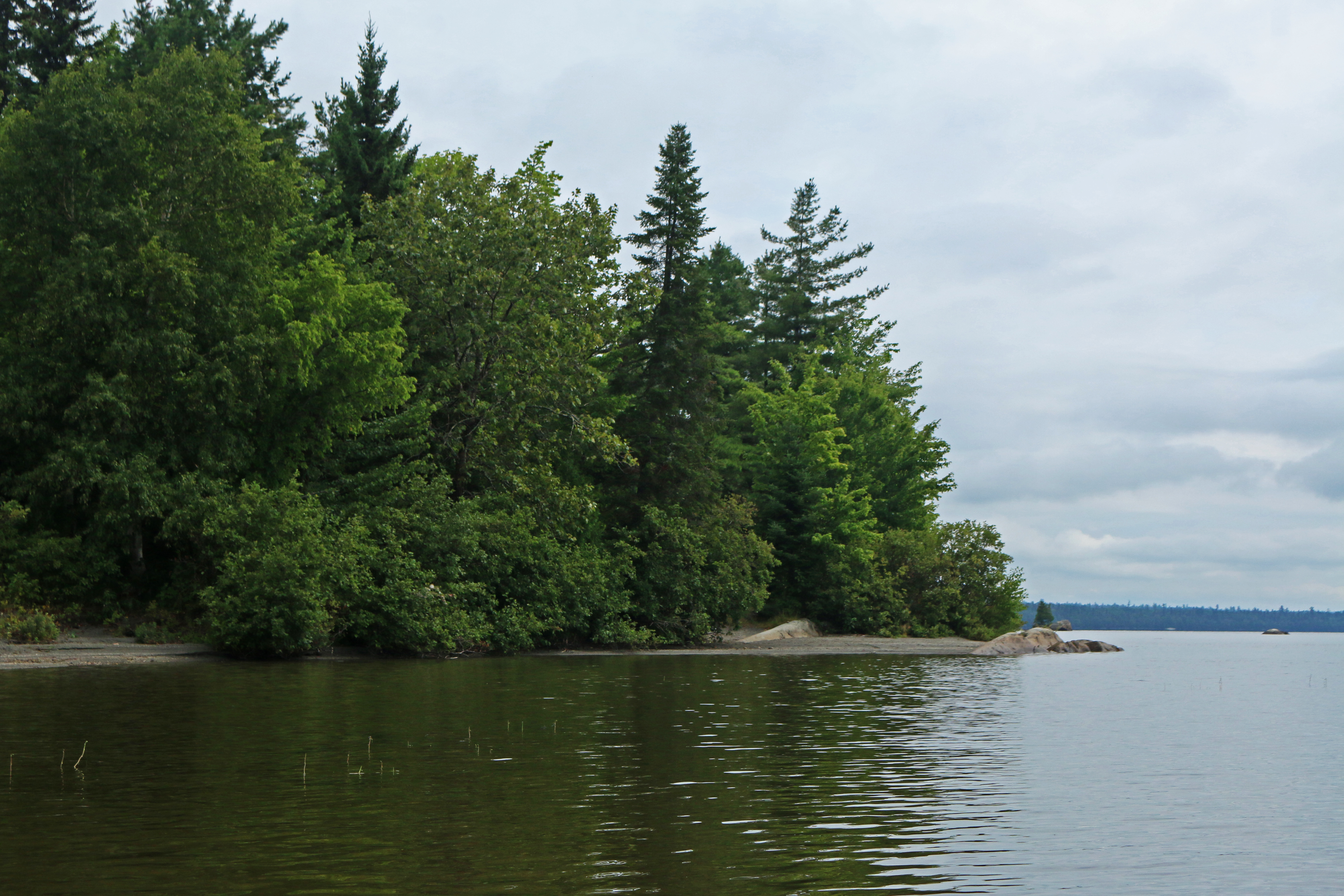
The mighty 75-mile East Branch of the Penobscot River begins as a small stream in north-central Maine. I stood on its bank in late September 2015, closing my eyes against the dust billowing up from the logging road I had used to reach the water. On one side of the road, the stream seemed still, reflecting blue sky and wispy clouds. On the other, the current flowed swift, babbling over the rocks and tumbling down to Fourth Lake, Third Lake, Lake Matagamon, and into what’s now the newly designated Katahdin Woods and Waters National Monument.
Read the rest on National Geographic!
